Showing posts with label Joshua Tree. Show all posts

Saturday, 29 March 2014

Joshua Tree National Park

Joshua Tree National Park - words to describe it?  Surreal, probably, is the first one that comes to mind.  Varied.  Unique.  Seemingly barren, yet teeming with life.  Vast.  Expansive.  Thirst-creating (we went through about 3l of water each today - Karl asked why his wees was white this evening!).

JTNP comprises 794,000 acres, covers two deserts (Mojave in the north and Colorado in the South) and a transition zone between the two, was used by American Indians, cattle ranchers, miners, and now, by rock climbers and nature enthusiasts.

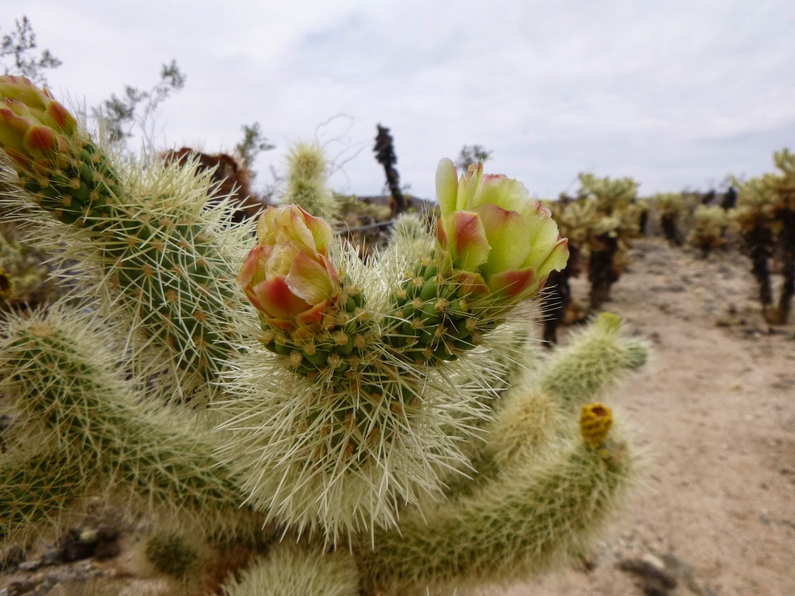
We were in the Park for 7.5hrs today, and another 30 mins at the Oasis Visitor Centre in TwentyNine Palms on our way out.  We saw wildlife (a number of lizards, rather large ants (including red ants), butterflies, birds, a ground squirrel, even a Sonoran Gopher snake!).  We saw a huge variety of cacti and trees and shrubs, including, but not limited to, the Joshua Tree, the California Fan Palm, creosote bush (its roots can go down 60ft in search of water, and it drops its small wax-coated leaves as drought conditions linger, then grows new ones once it rains again), a number of cholla cacti (pronounced choy-ya, and whose barbs can cause considerable pain when trying to remove them), chia, occotilla (the tall spindly plant with red flowers in yesterday's blog), beavertail pricklypear, juniper, Mojave yucca, ...  We saw a multitude of rock formations, some huge, some small, and people rock-climbing.  We walked to Barker Dam, which was used by miners, then by cattle ranchers.  JTNP used to get 10 inches a rainfall a year - now, it gets 2-3 inches.

The boys worked on becoming Junior Rangers, with a book of activities to complete.  When they handed it in at the end of our day, the Park Ranger, Sarah (who had taken her daughter to NZ a number of years ago) didn't just say "Well done, here is your badge" - she went through each page of work with them, getting them to talk about what they had seen and heard and adding more to it and encouraging them to keep on looking and learning as they go.  She was great.

They both had to write a desert poem acrostic - Sarah was very impressed with them.  Here they are.

Karl:
Dehydrating heat
Evolving wildlife
Sun blazing down
Every boulders shadow
Rocks rolling
Trees hiding under boulders

Robin:
Driving in the desert heat
Everybody's hot
Sun burning
Every boulder has thousands of stories
Rocks hot
Trees small and big

We finished up our day with a visit to Crossroads Cafe - I had a 3-bean chili and corn bread; Eric had a chicken quesadilla with black beans; the boys had an English muffin hamburger.  We all had dessert - apple pie, chocolate brownie, cheesecake.  Mmm - a great way to finish a full-on day.

Forgot to say, last night, both Eric & I felt the earth move - at separate times, and with moving doors.  We are quite close to the San Andreas fault line, after all!

Enjoy the selection of photos from our visit to Joshua Tree National Park.


En route to Joshua Tree National Park

Friday 28 March we left San Diego to head east to Joshua Tree National Park (JTNP).  What can be a 2.5hr drive to JTNP took us 8hrs!  But, we got off the freeway and saw some interesting sights.

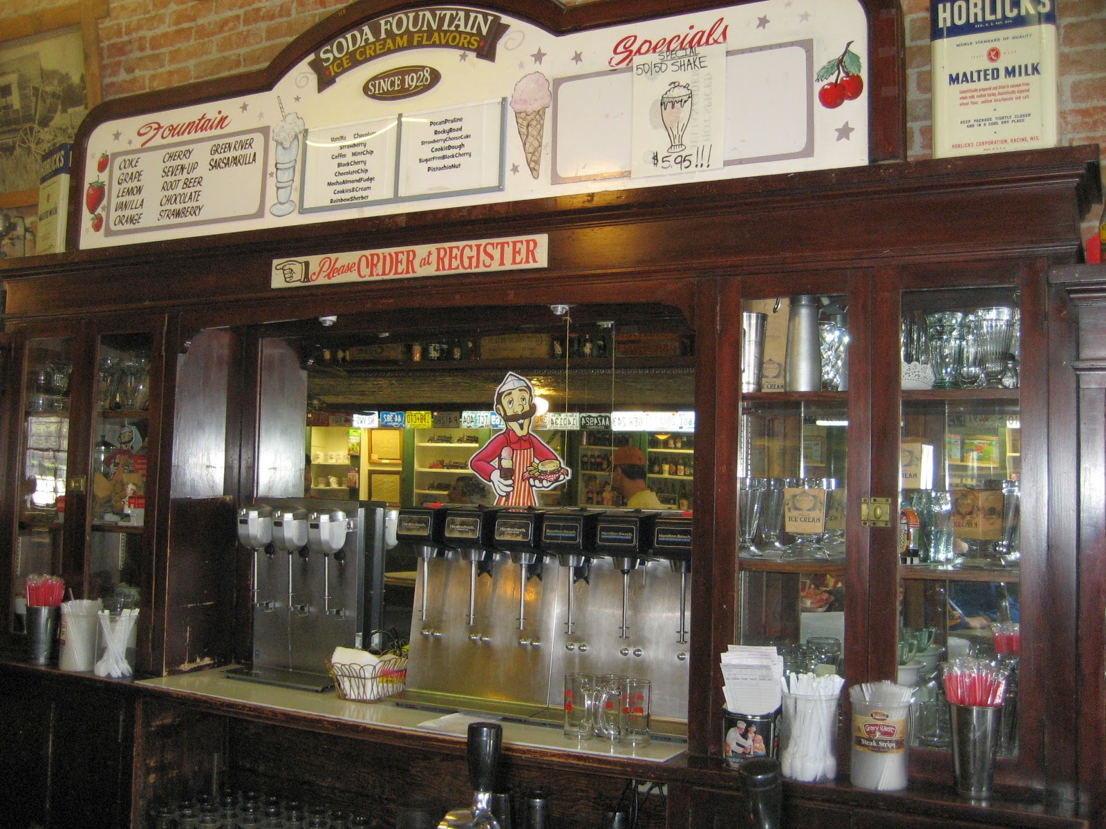
In Santa Ysabel, Eric & I got out to stretch our legs and take a photo of the general store dating from 1870 and, having passed a black beanie lying on the road on our walk, Eric retrieved it on the way back to the car.  He's happy - it's a US Border Patrol beanie!  We continued on to Julian, a town that was nothing until 1870 when gold was found near it.  About 2,000 miners extracted more than $15 million in gold ore.  Julian was a nice place, with lots of historic buildings along the main street, including the Julian Hotel built in 1887 and the Julian Drug Store and Miner's Diner which still has an old-fashioned soda fountain.  Robin chose to have a chocolate ice-cream in a cone (a lot of the ice-cream ended up on the outside of his mouth, rather than inside it!).  Eric, Karl and I had ice-cream floats - a glass with the syrup at the bottom, ice-cream scooped into it, and with soda water poured over it all and then mixed around.  Karl chose vanilla; Eric had sarsparilla (made from sassafrass roots and a winter mint); and I had root beer (very similar in taste to the sarsparilla).  Eric and I both were reminded of the dentist when we had our two floats, they were that sort of flavour.  We also watched a lady preparing baked apples - cored apples rolled in brown sugar, butter placed in the hollowed core then wrapped up in sweet pastry and finished with pastry cut-outs to resemble an apple with leaves.  Why?  There are lots of apple orchards around Julian, so apple pies and apple cider are a specialty of the area.


 We drove through the lower part of the Anza-Borrego Desert State Park.  Borrego is the Spanish word for sheep, and there are apparently rare desert bighorn sheep in remote areas of the park, whilst Anza was the man who found a route through the area in 1774.  The landscape was stark and barren, with cacti and not a lot else, and yet, every so often, there would be a group of RVs clustered together with nothing around them but the desert.


We reached Salton City, which had been planned to be the next Palm Springs but it never eventuated. Roads are laid out but there are very few houses - blocks are totally empty.  Driving along the roads is like sitting in a roller-coaster - smooth bumps all along.  It reminded us of Christchurch.  The city is on the edge of the Salton Sea, which is one of the biggest salt-water lakes in the world, and appeared accidentally in 1905 when canals taking water from the Colorado River breached their banks during a severe winter.  It is 72m below sea level and there is no natural outlet.  We got to see white pelicans and other birds there.

From there, we drove through the Coachella Valley, past date trees (Indio is the "Date Capital of the World" and even has a Date Festival), past Palm Springs (we didn't go in) and through a large area of wind turbines and solar panels, to Joshua Tree.


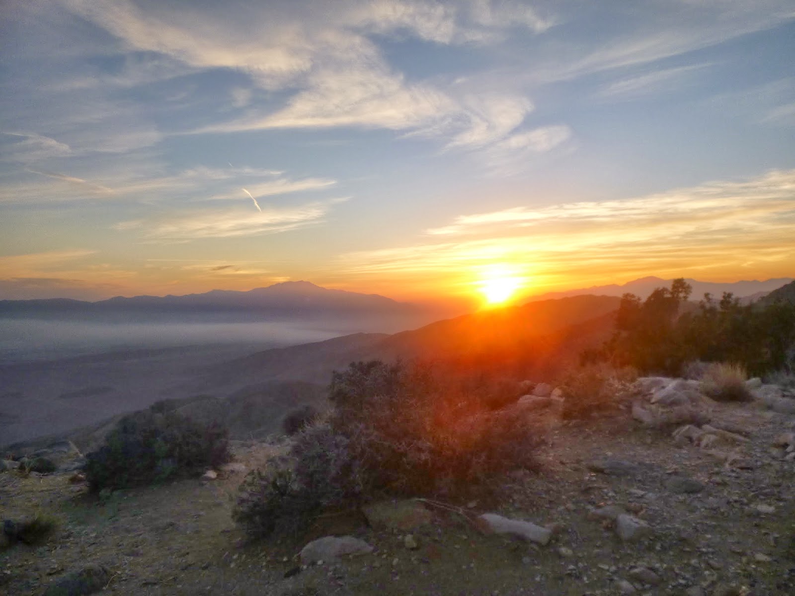
We settled in to our motel, had some dinner, then raced into JTNP in time to see the sunset at Keys View.  Keys View is 1,581m above sea level, and looks down over the San Andreas fault line and across to the San Bernadino mountains - when there is no smog, there are great views, even over the Salton Sea and down to Mexico.  The sunset was lovely, with the colours changing from reds to oranges to yellows as it set.  We have seen our first Joshua trees, named by Mormon travellers who were reminded of Joshua with his arms outstretched.   The tree is actually a member of the Agave family, and its tough fibrous leaves were used by local Indians for baskets and sandals, and the flower buds and seeds were healthy additions to their diet.  The trees do not have growth rings like many other trees do, but there is one tree that is 40 feet tall and is estimated to be over 100yrs old.

More exploring to come!